Building date: 1841, demolished 1975
Original use: Methodist Church
Corner structures:
Mortar application and content:
Types and uses of stones:
Types and choice of windows:
Structures with similar masonry details:
Masons who worked on building:
Unique features:
Map views street level view courtesy Google Maps. Address is Google Earth confirmed; 43°16'52.38"N 76°37'31.82"W.
Town of Sterling and Cayuga County Maps
Cobblestone Church Once in Martville, Cato Citizen, May 12, 1949
The original Methodist Church in the hamlet of Martville was built in 1841, but was demolished in 1875 because the massive high walls were cracking and the southwest corner became too dangerous. So the church was no longer used. This was much larger than the later one and was located further to the south. Lake stones were used in its construction.
The corners were constructed of square brown stone quoins. The large windows were of Gothic design. The top panes were leaded to resemble blinds. There was an iron band around the outside of the building on either side of the entry leading to the balcony above. Stairs led to the pulpit in the opposite end of the church.
A bench stretched across the back and the pulpit was lighted on the sides by large kerosene lamps on pedestals. Pews were rented, the proceeds going for the support of the church.
After it became unsafe, services were held on the local schoolhouse until the new church was erected in the 1880s. It was intended to rebuild the old church but this never occurred. The timbers for the new church foundation were taken from the old church. At one time children used them for see-saws. Richard Palmer blog.
Editor's Note: Comparing the 1859 Map location with the current location of the existing Martville United Methodist Church, it appears that the current frame church structure is located quite near the same location of the demolished cobblestone church.
Martville M.E. Church history sheet. From the personal research of cobblestone historian Karen Crandall.
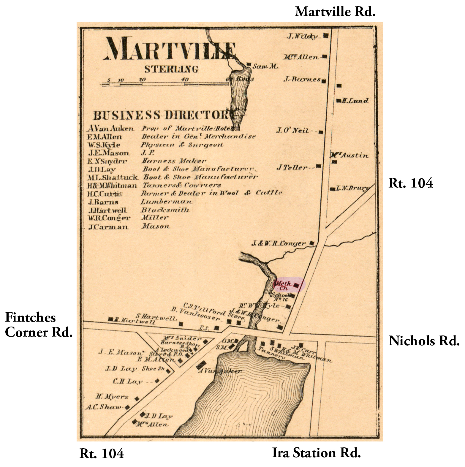 1859 Cayuga Seneca Ste-3 Excerpt Map.jpg ¹ |
¹ 1859 Ontario County Map Phe-27 excerpt courtesy Library of Congress.
